Exploration
Objective and Purpose:
- Objective: The primary goal of drilling exploration is to obtain subsurface information to understand the geological and geotechnical conditions of the site.
- Purpose: It helps in locating and delineating mineral resources, assessing ground stability, and gathering data for engineering and environmental considerations.
Site Selection:
- Target Area Identification: The selection of drilling locations is based on geological mapping, geophysical surveys, and preliminary exploration data.
- Mineral Potential: For mining exploration, sites with identified mineral potential are prioritized.
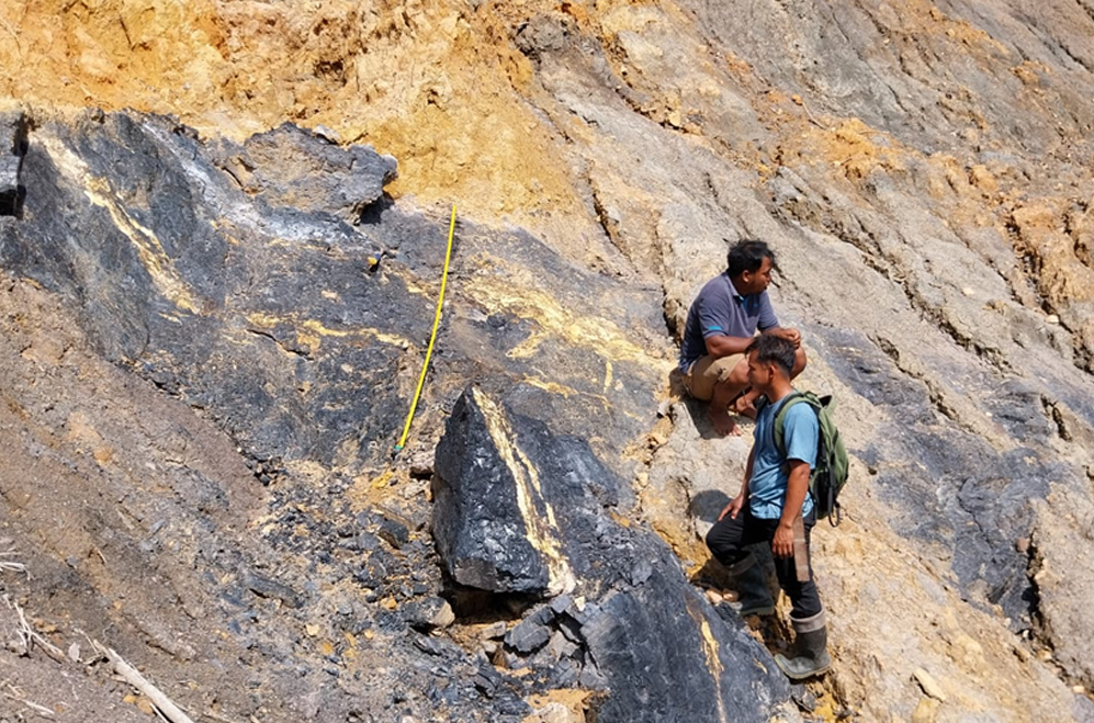
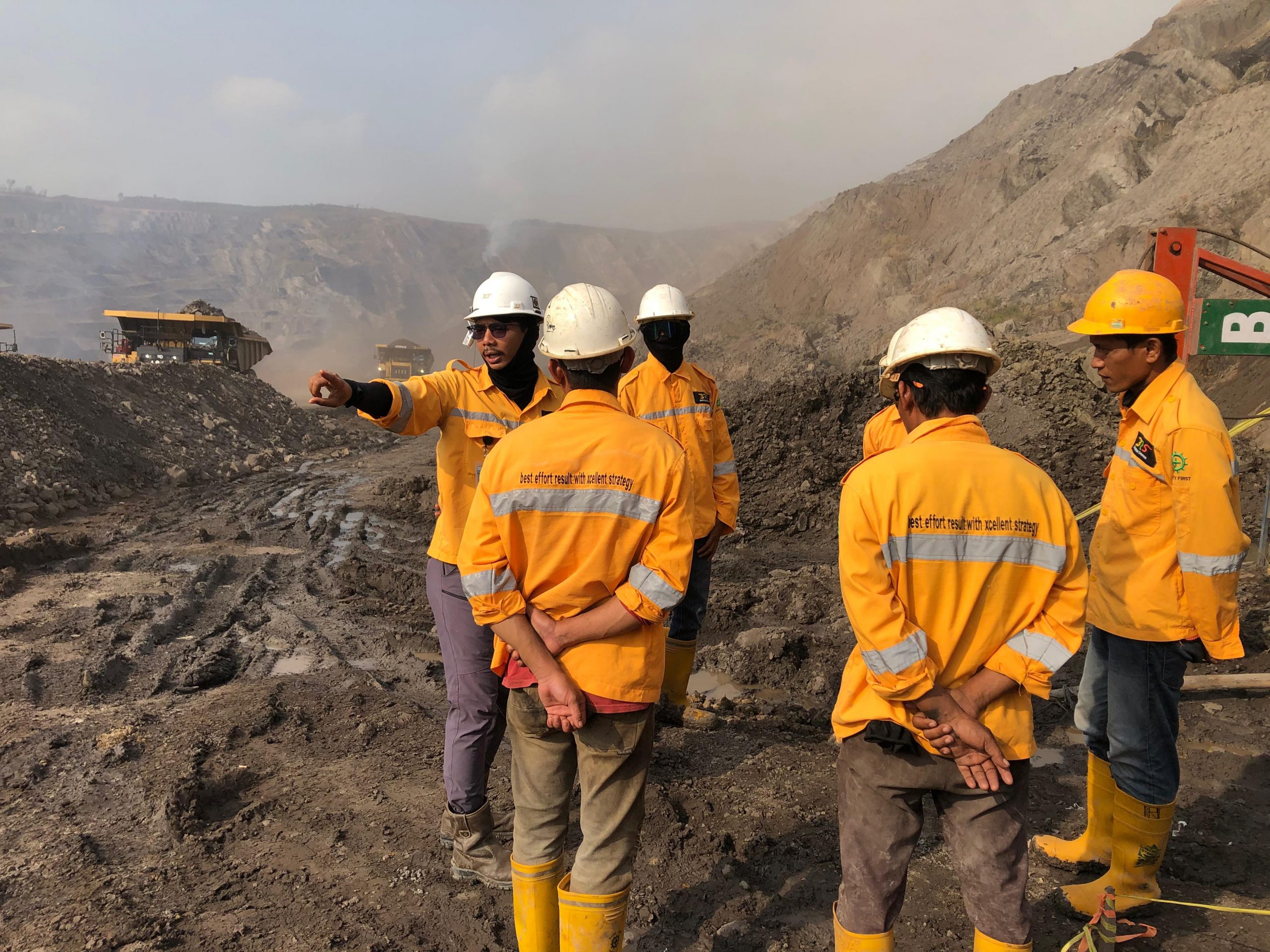
Geological Mapping:
- Geological mapping activities include rock mapping and searching for lithological unit boundaries on the surface using compass traverse method.
- The objective of surface mapping is to observe the strikes and dips of coal or others and non-coal outcrops to delineate the geological regional setting and the existence of surface coal occurances to assist in the planning of drilling target.
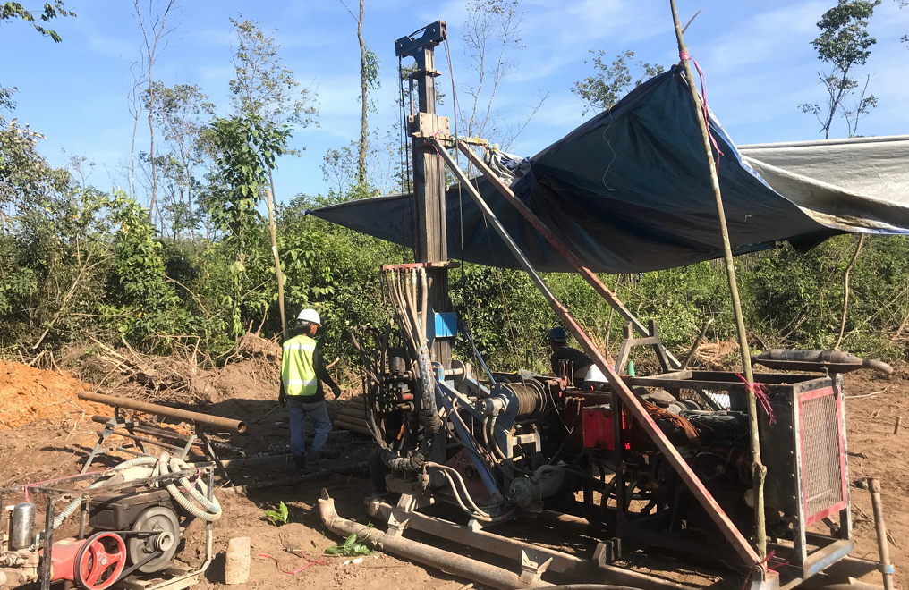
Drilling Techniques:
- Rotary Drilling: Commonly used for both geotechnical and mineral exploration, involving the rotation of a drill bit to cut through subsurface materials.
- Core Drilling: Extracts cylindrical rock cores, providing intact samples for detailed analysis.
Borehole Design:
- Depth and Inclination: The depth and inclination of the boreholes are determined based on project objectives, target depth of exploration, and the desired angle of inclination (if inclined drilling is required).
- Cluster Drilling: Multiple boreholes may be clustered in a specific area to create a more comprehensive subsurface profile.
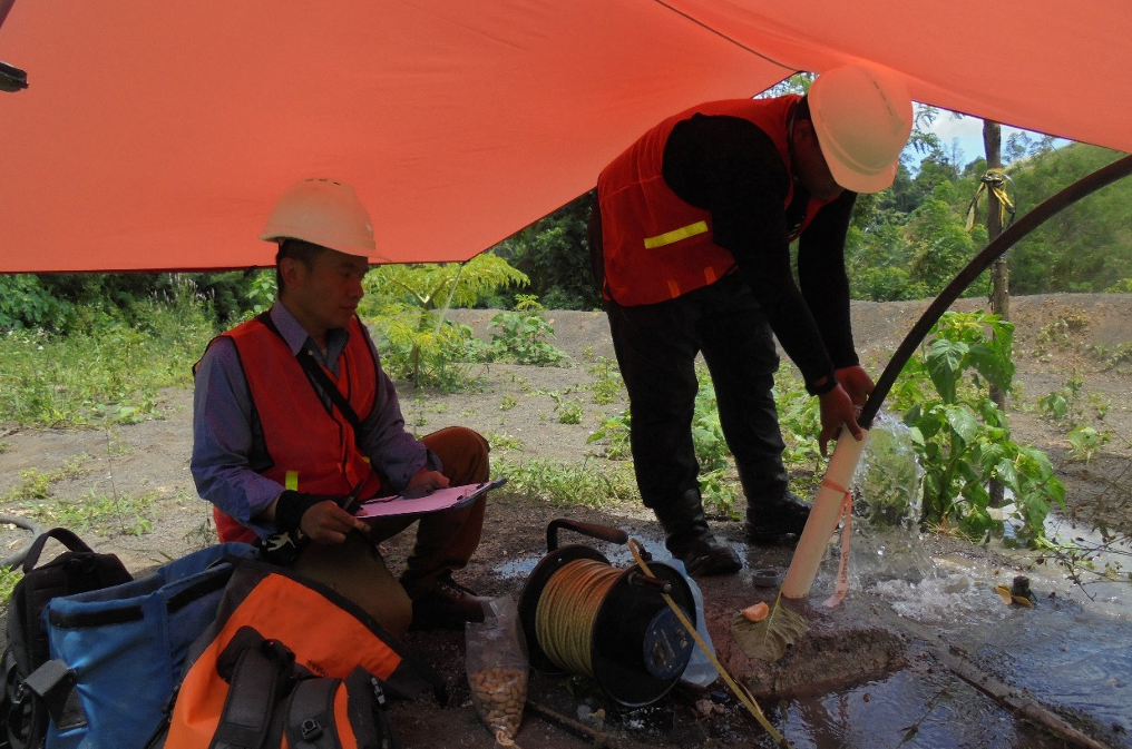
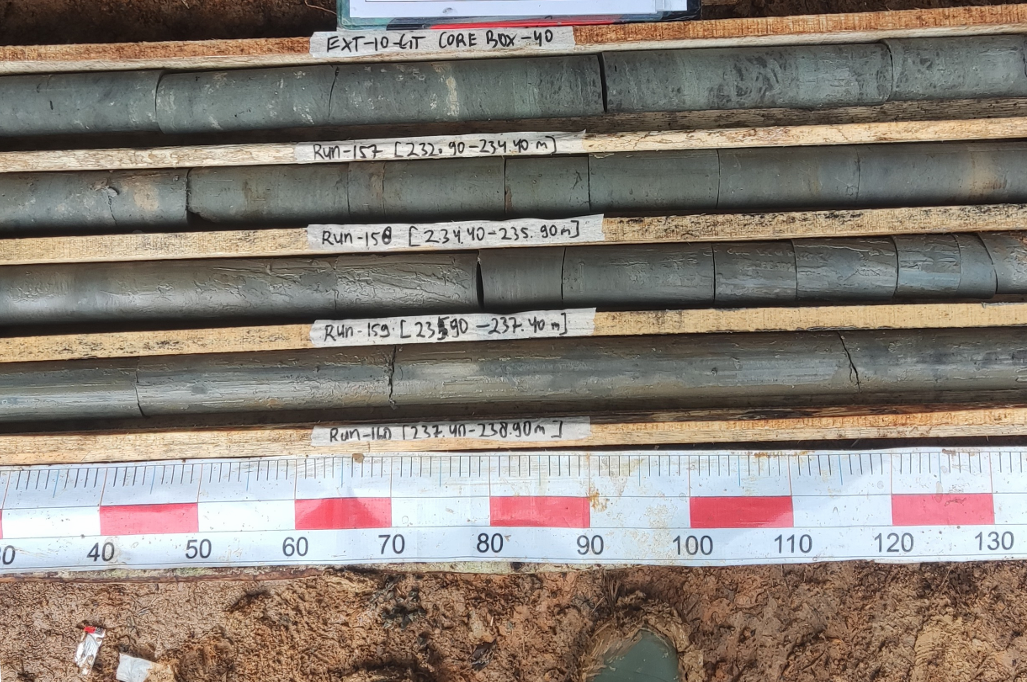
Core Sampling:
- Sample Recovery: Core drilling allows the recovery of continuous, intact rock samples, providing a more accurate representation of subsurface conditions.
- Sample Preservation: Proper handling and preservation of core samples are essential to prevent contamination and maintain sample integrity.
In-Situ Testing:
- ConePenetration Testing (CPT): Involves pushing a cone- shaped probe into the ground at various depths to measure soil resistance, providing information about soil strength and stratigraphy.
- Standard Penetration Testing (SPT): Uses a split-spoon sampler to collect soil samples at different depths, assessing soil properties.
Geophysical Logging:
- Tools and Techniques: Specialized tools are used for geophysical logging of boreholes, measuring parameters such as gamma radiation, electrical resistivity, and acoustic properties.
- Data Interpretation: Geophysical logs aid in the interpretation of subsurface geology, assisting in identifying mineralized zones and geological structures.
Reporting and Data Analysis:
- Compilation of Results: Data collected from drilling exploration is compiled and analyzed to create detailed geological profiles, mineral resource estimates, and geotechnical models.
- Feasibility Study Support: The information obtained supports feasibility studies for mining projects or geotechnical assessments for construction projects.